Perfect for those who dream of combining family hiking and moments of escape away from tourist trails, Monte Aragnascu offers an accessible experience, where every panorama invites contemplation of the Gulf of Ajaccio and Corsican heritage. Here, everyone can find their place: rigor and curiosity set the pace of the walk, while respect for the environment remains at the heart of the collective approach.
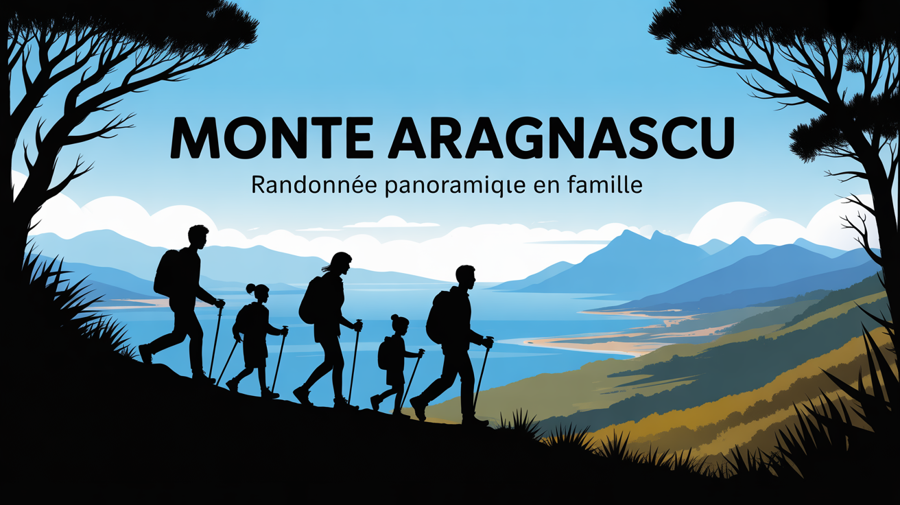
Monte Aragnascu: An accessible hike for unforgettable panoramas over the Gulf of Ajaccio
Are you hoping for a simple, panoramic walk suitable for families in Southern Corsica, away from the crowds yet rich in sensations? Monte Aragnascu, perched at 888 meters just north of the Gulf of Ajaccio, perfectly meets this desire. You can reach it in about an hour from Cuttoli-Corticchiato, and the summit fully immerses you in the local maquis, with stunning views of the coastline, producer villages, and sometimes even snow-capped peaks on the horizon as a bonus.
The trail, well-marked and secure, attracts active families as well as occasional hikers looking for horizons. Regularly cited by specialized guides (average rating: 4.8/5 on various platforms), it earns hikers’ trust for its reliability and accessibility.
Quick technical sheet: Essential landmarks before setting off
A quick glance at the technical sheet is enough to get a precise idea of the route: plan between 2 and 2.5 hours for the main loop (8 to 8.5 km), with a positive elevation gain between 350 and 472 meters depending on the chosen variant. The classic starting point is at Cuttoli-Corticchiato, just past the church; the free parking lot also contributes to logistical peace of mind (some locals admit they come precisely for this convenience!).
Some landmarks to keep in mind:
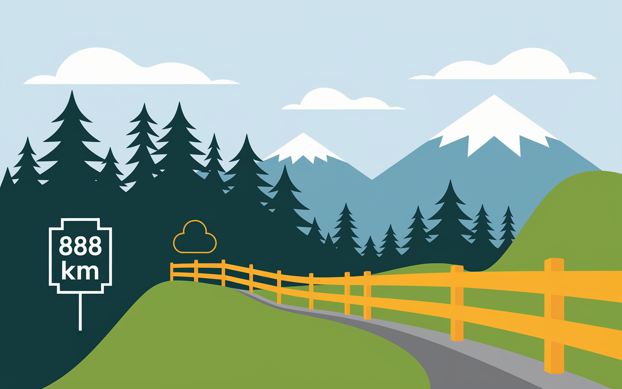
- The summit reaches 888 m – a landmark in the Ajaccio area
- Recommended distance: 8 km, adjustable according to the chosen variant
- Positive elevation gain: between 350 and 472 m
- Average duration: 2 to 2.5 hours, family pace
- Yellow trail markers, well-maintained
- Parking on site, in the village of Cuttoli (free)
- “Moderate” difficulty (3/5), fairly convergent opinions among specialized sites
A local trainer recently mentioned that families, including the less athletic ones, complete this route together, children included. Many note, however, the importance of staying alert on the ridge; one anecdote comes up relatively often: even those who hesitate ultimately make it to the summit… and only keep good memories of it.
Detailed itinerary of the ridge trail and adapted variants
From the start, the trail plunges into the heart of the Corsican maquis, bathed in the scent of cistus and myrtle. On nice days, it’s not uncommon to hear birdsong, encounter an old chestnut tree, or even improvise a figatellu tasting in the shade of a pine! The atmosphere, far from static, recalls traditional postcards, but on site, the magic seems very real.
The route step by step
Departure from the Cuttoli parking lot (altitude: approximately 600 m), following the yellow markers. After 15 to 20 minutes of gradual ascent, the view already opens onto the Afa and Peri plains. The continuation passes through a pleasant undergrowth, then (around 2.5 km) the slope levels out until the pass (700 m).
The last section (1 km), exposed on the ridge, leads to the summit of Monte Aragnascu (888 m), where an orientation table indicates each surrounding village and offers a panoramic view extending to the heights of Renosu on clear days. This is where many share picnics and panoramic photos – and sometimes, a suspended moment facing the Bay of Ajaccio.
Varying your pleasure according to fitness or weather
Along the way, two main options present themselves: the classic loop (return via the same trail, total distance: 8 km) or the full traverse following the ridge trail toward Bastelicaccia or Porticcio – this variant, however, requires a shuttle or vehicle transfer. In most cases, families prefer the out-and-back, always “wise” given the weather that can change quickly.
Note that longer itineraries expose you more to wind and sun. It’s therefore better to think about a hat, water, and checking the local weather before departure, especially with children. It’s not uncommon for a hiker to regret underestimating the power of the sun on the ridges – this anecdote is reported by several regulars in the area.
Landscape benefits, nature immersion, and Corsican heritage
Faced with the diversity of the landscape, it’s hard to remain indifferent. Some days, the light accentuates the impression of alpine altitude, giving the panorama an astonishing depth that surprises even regulars. It’s frequently noted that spring weather transforms the visual experience into a rare moment…
Remarkable viewpoints and summit atmosphere
From the summit, you fully enjoy the 360-degree panorama: the Bay of Ajaccio and Porticcio, several perched villages (Cuttoli, Bastelicaccia, Peri), then the horizon over the snowy peaks of Renosu and Monte d’Oro. In winter, snow sometimes covers the heights, creating a striking contrast with the dark maquis. Some walkers tell of picnics featuring “canistrelli” or entirely spontaneous sharing moments – conviviality seems to be a local tradition.
To add to the experience, a naturalist enthusiast recently mentioned regular sightings of the red kite on the ridges. The olfactory richness of the maquis completes a walk that, some days, transforms into a true meditative pause.
A trail steeped in history and local tradition
On the way down, a stop is essential at the village of Cuttoli, renowned for its breeders and traditional charcuterie. The “charcutier au sommet” itinerary is one of the classics, with tastings and custom picnic baskets on offer. Heritage enthusiasts will appreciate the signage that tells the history of ancient transhumance routes and the rehabilitation of trail networks by CAPA.
Some tourism professionals describe this as a form of transmission – each walk becomes a dive into Corsican history, both concrete and lived.
Practical tips: Equip, secure, anticipate
Adopting the right reflexes – that’s the key to peacefully enjoying Monte Aragnascu. Even on a trail called “accessible,” coastal weather remains changeable, and the wind on the ridges sometimes surprises even the most experienced.
Recommended equipment and child safety
Wear good sneakers or hiking shoes: if the first half of the route is fairly easy, some rocky sections require sturdy soles. Don’t forget a water bottle of 1.5 L per hiker, a cap or light beanie depending on the season, and something to snack on. Often, these small details make the final climb truly more pleasant.
On the ridge, it’s better to have an adult hand to accompany young children (think of little Theodore, 10 years old, hesitant on the ridge – but so proud once he reached the summit!) Several families share this anecdote in their feedback on forums.
Good to know
I recommend properly preparing equipment for each hiker: appropriate shoes, sufficient water, and protection against sun and wind, as the trail, even if accessible, includes exposed sections.
Weather, local regulations, and best practices
Before each departure, it’s wise to check the local weather in Ajaccio or Cuttoli: the west wind is common on the heights, and the outing can become complicated with young children. Note that fire is strictly prohibited, as is the use of drones without formal approval (the Natura 2000 reserve is not far away). The whole family will benefit from picking up their trash and caring for the local flora – an environmental professional noted that each hiker shapes the landscape in their own way.
Remember to memorize these essential points:
- Check weather and west winds before leaving
- Appropriate shoes, hydration, warm clothing in winter
- Watch children in exposed areas
- Be careful: no fire or cigarette butts, drones only with written authorization
In summer, leaving early is preferable – the morning coolness makes the climb even more pleasant, and it’s not uncommon to enjoy the summit in a very peaceful atmosphere.
Experience feedback, reviews, and community sharing
On collaborative sites like Visorando, Monte Aragnascu excites most users. The overall rating reaches 4.8/5 for nearly thirty reviews, which demonstrates great reliability on site and a reassuring atmosphere. It even happens that groups return every year, simply to relive the panorama.
How do hikers experience the ascent?
Families value the “well-marked, varied, never monotonous” aspect and appreciate the possibility of picnicking at the summit. Many report having encountered sheep or black Corsican pigs on the first few kilometers – striking images for children. The loop is frequently recommended to beginners for the “sense of journey” and the absence of pressure, with an average travel time of 2 to 2.5 hours (breaks included).
Sometimes, some imperfections (slightly less clear marking on one section, intense heat in summer) are mentioned, but solutions quickly emerge: follow a GPX track, ask for advice in the village. Often, exchanges between groups develop along the walk; some like to tell how, from a simple question, a conversation rich in local experiences is born.
Share your tips, photos, variants!
Whether on Instagram, Facebook, or hiking apps, the conviviality around Monte Aragnascu is almost like a tradition. Don’t hesitate to bring back a beautiful panoramic photo or a small adventure story: these shares stimulate the community and attract the next hikers.
If you have in mind an original variant or a secret viewpoint, the “Add your experience” section on most online guides awaits you; the community loves this kind of surprise, so why not try the exchange?
Other hikes and additional resources in Southern Corsica
After Monte Aragnascu, it’s natural to want to extend the pleasure or simply vary the excursions during your stay. Several options exist to rekindle the spirit of discovery while keeping the taste of authenticity.
Ideas for complementary walks around the Gulf of Ajaccio
Try the ridge trail toward Monte Gozzi: it offers a wild experience, with a plunging view over the sea. Others prefer the traverse toward Bastelicaccia to extend the walk through the maquis. Several loops around Peri suit families, alternating shade and splendid open landscape.
Some suggest traditional sheepfolds for a gourmet break or simply the friendly welcome offered to hikers. It’s worth the detour (some hikers tell of an unforgettable snack on the terrace of a local sheepfold).
Practical tools, guides, maps, and communities
To benefit from effective preparation or enrich the route, you can:
- Download the customized GPX track (check on IGNrando, Komoot, or Villaggi di Corsica, QR code available)
- Print the PDF sheet before departure – a prudent option in case of network failure or if you prefer to avoid using your smartphone
- Explore interactive IGN maps, regularly updated by local communities
- Consult reviews or alternative accounts on collaborative platforms – some give ideas for interesting variants
Why not consider a walk enhanced by a local podcast or a mini-interview with a Cuttoli producer? Several local experts offer this format to enliven the narrative during the climb.
Downloads, resources, and frequently asked questions (Practical FAQ)
Here you’ll find the key tools for an organized and inspiring departure:
Access to GPX tracks, maps, and PDF sheets
Links to obtain the GPX track or PDF sheet for the route are accessible on IGNrando, Komoot, or Villaggi di Corsica. For groups with varied levels, the interactive map allows you to check technical passages or quickly identify what might require a detour.
A tip gathered from a guide: the weather simulator module offered on some sites is a relevant tool for targeting a departure window suited to the season.
FAQ – Your questions, our answers
What is the difficulty? Moderate/intermediate; accessible with decent physical condition, from 8-9 years old.
How much time should I plan? Between 2 and 2.5 hours for the main route, breaks included.
Where to park? Free parking at Cuttoli-Corticchiato, in the village center.
Suitable for children? Yes, as long as you’re vigilant on the final ridge section. Prefer calm days (no strong wind).
Essential equipment? Hiking shoes, water, cap, and windbreaker (depending on the season), GPX track or smartphone according to your habits.
What weather precautions and regulations? Check local weather, fire prohibited in the maquis, avoid drones without official authorization, and always watch over wildlife and other hikers.
Final point to note: don’t hesitate to take the plunge – hiking Monte Aragnascu is for all curious people who like to share their experiences. Often, you leave with a story… and sometimes, the desire to return isn’t far off.